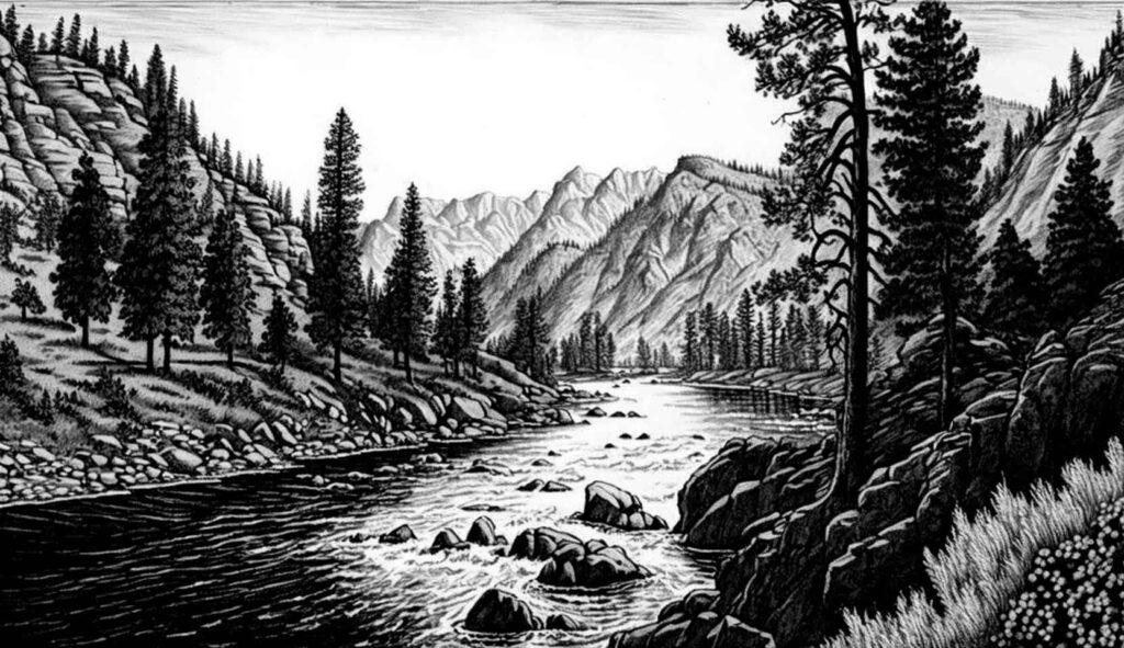
Idaho’s Waterways in Motion: Current River and Stream Flows
Compare the data of seven Idaho river and stream flows, and learn how and why the flow rate on a river is measured.
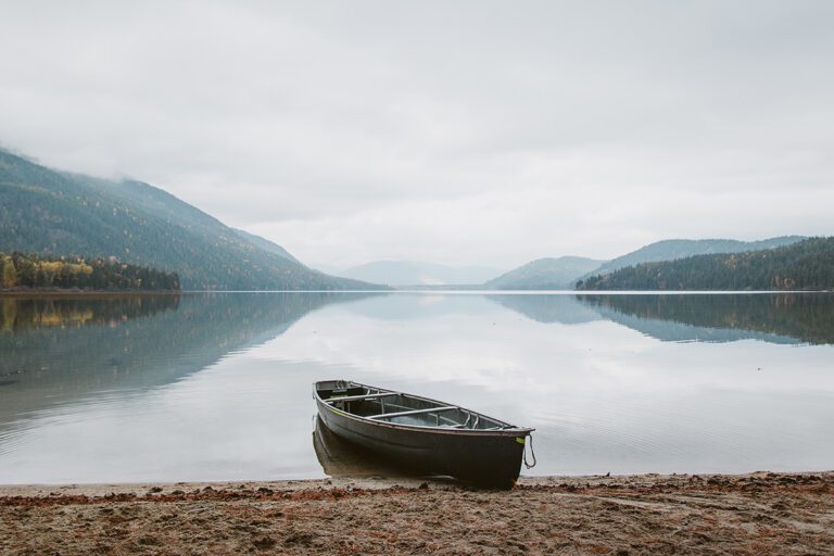
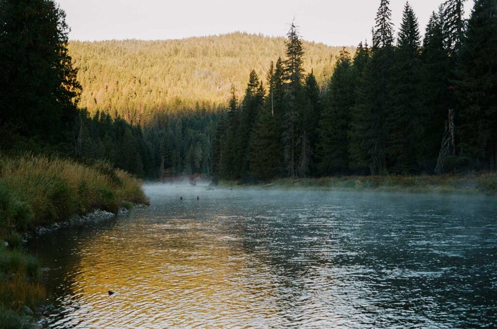
Idaho is known for its vast network of rivers, which provide a variety of recreational opportunities, including fishing, kayaking, and rafting. In this article post, we will take a closer look at the flow rates of some of Idaho’s biggest rivers.
Before we dive into the details, let’s first define what we mean by “flow rate.” The flow rate of a river is simply the volume of water that passes a specific point in the river over a given amount of time, usually measured in cubic feet per second (cfs). This measurement can be affected by a variety of factors, including rainfall, snowmelt, and dam releases.
The water that is flowing through a river at a particular moment and location is called its discharge, or flow. This is usually measured in terms of the amount of water that passes through a given point in a specific unit of time, commonly expressed as cubic feet per second or cubic meters per second. In other words, it’s just a way of quantifying how much water is moving through a river at a particular point in time.
Snake River Flow
The Snake River is the largest river in Idaho, stretching over 1,078 miles and flowing through the southern part of the state. The river begins in Wyoming and travels through Idaho, Washington, and Oregon before emptying into the Columbia River. The Snake River is known for its rugged beauty, excellent fishing, and a variety of recreational opportunities, including rafting, kayaking, and jet boating.
The Snake River has an average discharge of 7,900 cubic feet per second (cfs) and a drainage area of 108,000 square miles. Here’s a table showing the average monthly flows for the Snake River in Idaho.
| Month | Average Flow (cfs) |
|---|---|
| Jan | 7,020 |
| Feb | 8,560 |
| Mar | 14,100 |
| Apr | 20,100 |
| May | 22,500 |
| Jun | 24,600 |
| Jul | 24,300 |
| Aug | 20,700 |
| Sep | 14,800 |
| Oct | 10,000 |
| Nov | 8,190 |
| Dec | 6,720 |
Salmon River Flow
The Salmon River is a tributary of the Snake River, stretching over 425 miles and flowing through central Idaho. The river is known for its wild and scenic beauty, excellent fishing, and world-class whitewater rafting. The Salmon River has an average discharge of 4,200 cfs and a drainage area of 14,000 square miles.
Here’s a table showing the average monthly flows for the Salmon River in Idaho.
| Month | Average Flow (cfs) |
|---|---|
| Jan | 1,490 |
| Feb | 1,710 |
| Mar | 3,090 |
| Apr | 5,290 |
| May | 7,280 |
| Jun | 8,680 |
| Jul | 9,020 |
| Aug | 7,790 |
| Sep | 5,590 |
| Oct | 3,020 |
| Nov | 2,020 |
| Dec | 1,560 |
Payette River Flow
The Payette River is a 82-mile long river flowing through central Idaho. The river is a popular destination for white water rafting, kayaking, and fishing. The Payette River has an average discharge of 1,400 cfs and a drainage area of 3,240 square miles.
Here’s a table showing the average monthly flows for the Payette River in Idaho.
| Month | Average Flow (cfs) |
|---|---|
| Jan | 853 |
| Feb | 963 |
| Mar | 1,460 |
| Apr | 2,330 |
| May | 3,030 |
| Jun | 2,510 |
| Jul | 1,560 |
| Aug | 947 |
| Sep | 678 |
| Oct | 554 |
| Nov | 559 |
| Dec | 761 |
Boise River Flow
The Boise River is a 102-mile long river flowing through southwest Idaho. It is a tributary of the Snake River. The river is a popular destination for recreational activities, including kayaking, fishing, and swimming. The Boise River has an average discharge of 1,300 cfs and a drainage area of 4,100 square miles.
Here’s a table showing the average monthly flows for the Boise River in Idaho.
| Month | Average Flow (cfs) |
|---|---|
| Jan | 750 |
| Feb | 850 |
| Mar | 1,320 |
| Apr | 2,320 |
| May | 2,820 |
| Jun | 1,620 |
| Jul | 970 |
| Aug | 770 |
| Sep | 540 |
| Oct | 480 |
| Nov | 620 |
| Dec | 740 |
Priest River Flow
The Priest River is a 68-mile long river in Bonner County that dumps into the Pend Oreille River leading into eastern Washington. The river is a popular destination for fishing, kayaking, and swimming. The Priest River has an average discharge of 780 cfs and a drainage area of 888 square miles.
Here’s a table showing the average monthly flows for the Priest River in Idaho.
| Month | Average Flow (cfs) |
|---|---|
| Jan | 564 |
| Feb | 506 |
| Mar | 804 |
| Apr | 1,160 |
| May | 1,570 |
| Jun | 1,620 |
| Jul | 1,070 |
| Aug | 599 |
| Sep | 498 |
| Oct | 535 |
| Nov | 573 |
| Dec | 578 |
Coeur d’Alene River Flow
The Coeur d’Alene River is a 37-mile long river flowing through northern Idaho. The river is a popular destination for fishing, kayaking, and rafting. The Coeur d’Alene River has an average discharge of 700 cfs and a drainage area of 1,300 square miles.
Here’s a table showing the average monthly flows for the Coeur d’Alene River in Idaho.
| Month | Average Flow (cfs) |
|---|---|
| Jan | 368 |
| Feb | 419 |
| Mar | 728 |
| Apr | 1,720 |
| May | 2,870 |
| Jun | 2,140 |
| Jul | 1,140 |
| Aug | 712 |
| Sep | 538 |
| Oct | 502 |
| Nov | 429 |
| Dec | 356 |
Clearwater River Flow
The Clearwater River is a 75-mile long river flowing through north-central Idaho. The river is a popular destination for recreational activities, including fishing, boating, and camping. The Clearwater River has an average discharge of 6,800 cfs and a drainage area of 9,650 square miles.
Here’s a table showing the average monthly flows for the Clearwater River in Idaho.
| Month | Average Flow (cfs) |
|---|---|
| Jan | 2,880 |
| Feb | 3,520 |
| Mar | 7,320 |
| Apr | 17,300 |
| May | 25,200 |
| Jun | 21,700 |
| Jul | 13,600 |
| Aug | 9,030 |
| Sep | 6,550 |
| Oct | 5,410 |
| Nov | 4,630 |
| Dec | 3,440 |
Why is river flow rate measured?
Understanding the flow rate of a river is crucial for many reasons. It can help us predict and prepare for floods, droughts, and other water-related hazards. It is also important for managing and allocating water resources for human use, agriculture, and industry.
Geologists use river flow rate data to study the hydrologic cycle, which is the process by which water moves through the earth’s atmosphere, land, and oceans. This information can help geologists understand how water shapes the landscape over time and how it interacts with other natural processes like erosion, weathering, and sediment transport.
It’s an important flow rate data is an important tool for scientists, engineers, and policymakers who are working to manage and protect our planet’s water resources. By studying and monitoring river flows, we can better understand and manage this precious resource for the benefit of all.
Who measures the flow rate of a river?
In Idaho, the US Geological Survey (USGS) is primarily responsible for collecting and maintaining river flow rate data. The USGS has a network of gauging stations throughout the state that continuously monitor the flow of rivers and streams. This data is then made publicly available on the USGS website for anyone to access and use.
In addition to the USGS, other agencies and organizations in Idaho may also collect and use river flow rate data for various purposes, such as managing water resources or monitoring environmental conditions.
However, the USGS is the primary source for this data in Idaho and is considered the most reliable and comprehensive source of information on river flows in the state.
How does the USGS measure the Idaho river flows?
One of the most common methods used to measure flow rate is to use a stream gauges which continuously monitor water levels in a river or stream.
Stream gauges work by measuring the height of the water surface at a particular point in the river and then using that measurement, along with other factors such as the width and slope of the river, to calculate the flow rate. Some gauges also use acoustic sensors or other technologies to measure the velocity of the water as it flows past the gauge.
In addition to stream gauges, the USGS uses tracer studies and aerial photography.
Tracer studies involve adding a small amount of a harmless chemical to the water and then tracking how it moves downstream, which can help determine the speed and direction of the water flow.
Aerial photography can also be used to estimate flow rate by analyzing the patterns of water movement and other characteristics visible from above.
Frequently
Asked
Questions
What else did you need to know that we didn’t cover? Send us an email and we’ll help you find the answer.